Capacity Building
Earth Observations services for water and food security planning in Indonesia (Nov 2021)
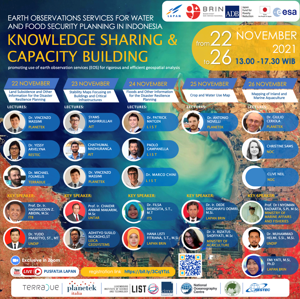 The aforementioned training program was a collaborative effort between the European Space Agency (ESA), the Asian Development Bank (ADB), the National Research and Innovation Agency of Indonesia (BRIN), and the National Institute of Aeronautics and Space of Indonesia (LAPAN) aimed at disseminating knowledge pertaining to Earth observation science for water and food security in Indonesia. As part of this program, I had the privilege of delivering a knowledge-sharing session on infrastructure stability mapping over Central Sulawesi utilizing InSAR mapping technology.
Training on Drones for Surveying and Mapping (Aug 2018 - 2020)
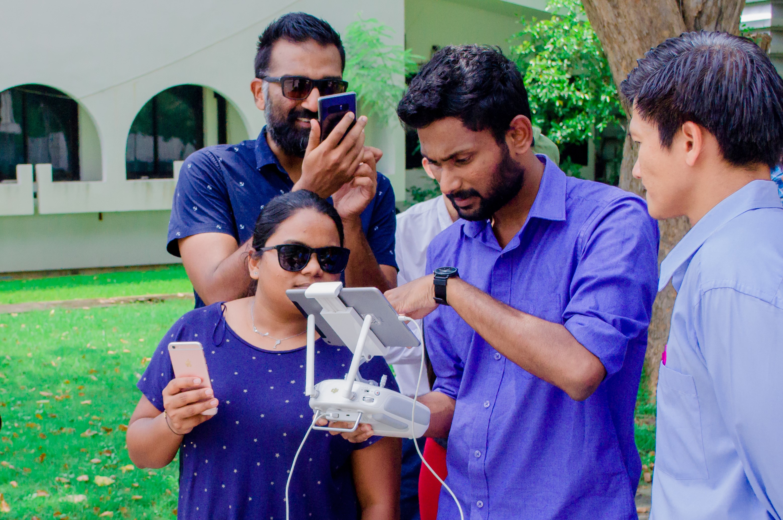 The Geoinformatics Center at the Asian Institute of Technology has successfully organized numerous training programs focused on the implementation of drones for mapping and their various applications. The primary objective of these programs is to equip participants with comprehensive knowledge on drone-based mapping technology tailored to meet the specific needs of clients. As a resource person, I have been actively engaged in these training programs, providing participants with both theoretical and practical insights on flight planning and product generation, aligning with the client's requirements.
Flood Extraction Using Synthetic Aperture Radar Data (2019)
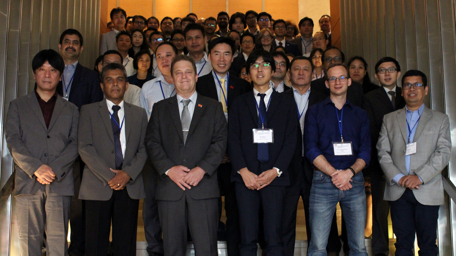 I had the privilege of serving as a resource person during a workshop held at the 7th Joint Project Team Meeting for Sentinel Asia STEP-3 (JPTM2019) in Bangkok. The primary objective of this task was to provide young data analysts with an introduction to the use of Synthetic Aperture Radar (SAR) data in identifying disaster-affected regions, particularly in the case of floods, and generating value-added products.
Access the materials Here!.
Forest Biomass Estimation - Laos (2019)
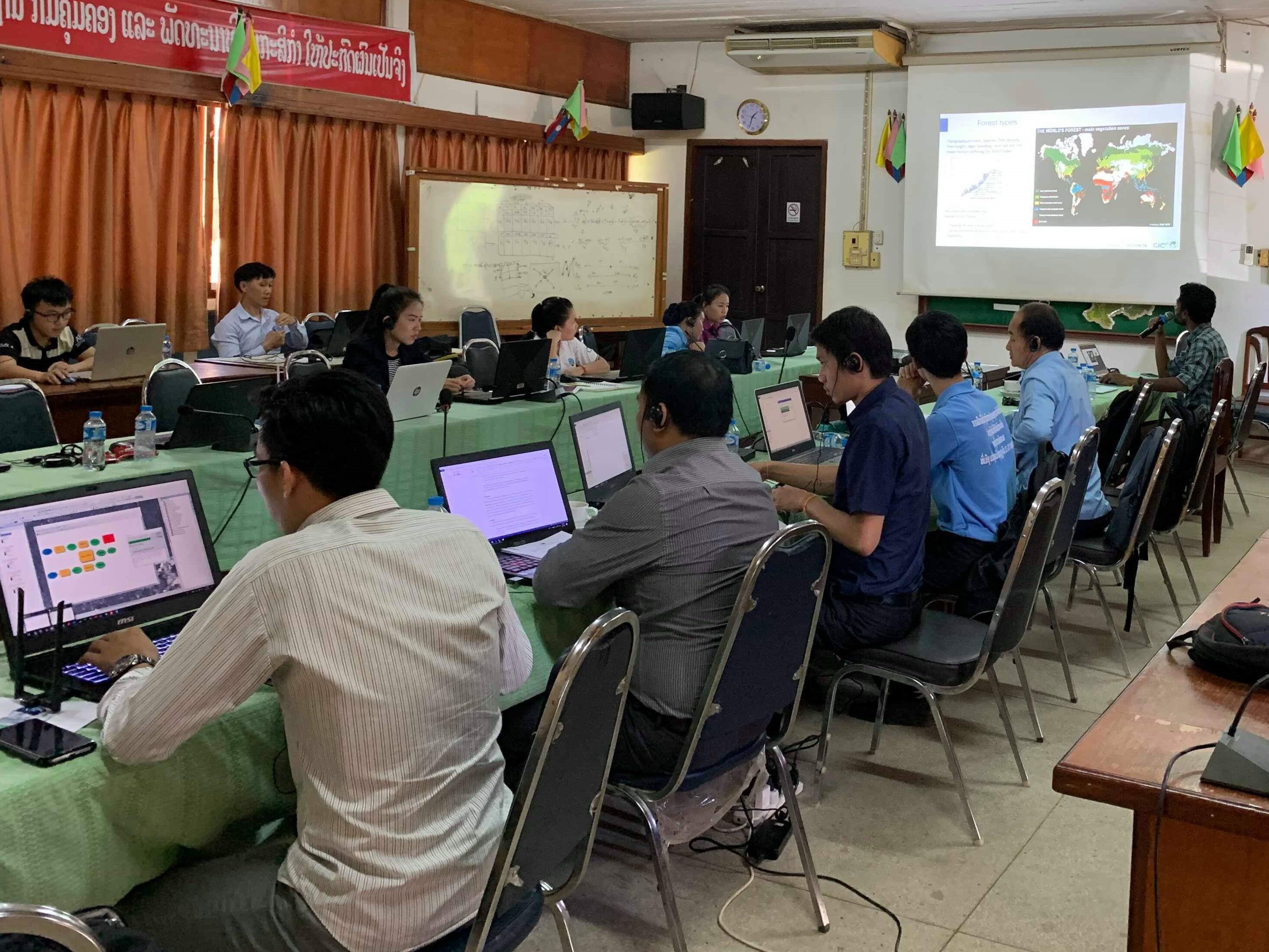 The Geoinformatics Center at the Asian Institute of Technology joined forces with the Food and Agriculture Organization of the United Nations (FAO) to conduct multiple training programs aimed at equipping national organizations in Laos, such as the Department of Agricultural Land Management (DALaM), with the necessary knowledge and skills to utilize GIS and Satellite Image Analysis (Remote Sensing) in their operations. As a key resource person for these training programs, I had the privilege of leading a comprehensive training program on "Forest biomass estimation" that focused on the application of satellite remote sensing data for professionals within the DALaM.
Access the materials Here!.